Hike
Slider

Hiking in Big Bear

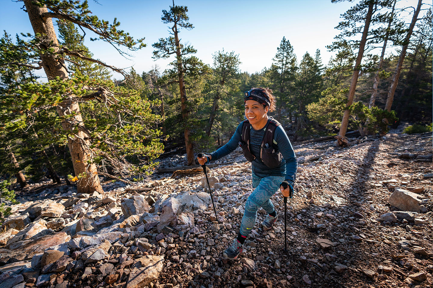
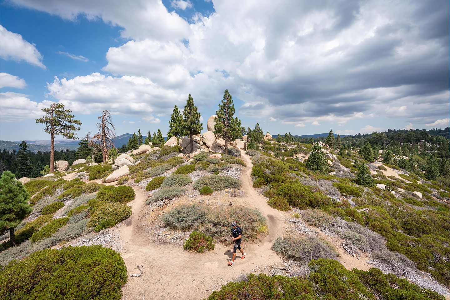
Surrounded by over a million acres of National Forest, Big Bear offers the best hiking in Southern California. From logging roads to trails to cross country jaunts, there is a path for everyone who enjoys seeing nature on their own two feet. Big Bear features many different microclimates. While the general climate is alpine, large areas in the East Valley have a high desert climate where you can even find Joshua Trees. Scattered throughout the valley are pockets of marshes, springs, meadows and wetlands. Few places on Earth offer as much habitat diversity as are available in Big Bear.

The most famous hiking trail in the Valley is the Pacific Crest Trail. The PCT runs from Mexico to Canada and the section through Big Bear is easily accessible from a number of points and can then be hiked as a day hike. 

Best Trails for Hiking

The Woodland Trail (1E23) Easy – 1.5 mile loop

The Woodland Trail is an easy 1.5 mile well-maintained nature trail located a mile east of the Big Bear Discovery Center on Highway 38 on the North Shore. Pick up a pamphlet at the entrance and take the self-guided tour where you will learn about botany, geology and the wildlife of this dry woodland area. The trail is in an area that is a transition between mixed conifers and pinyon/juniper woodland habitats with great views of Big Bear Lake and the surrounding mountains.

This is a great choice if hiking with kids. A parking lot is located at the trailhead.

Castle Rock Trail (1W03) Moderate to Difficult – 2.4 miles Round Trip

This trail begins 1.1 miles east of the dam on Highway 18. Although not a long hike, the elevation gain is 500 feet, making it a steep climb by any standard. The views get more rewarding with each step. At the top of the ridge is an impressive granite rock out-cropping and the source of many tales and local folklore. If you trust your rock climbing skills and can claw your way on top of the rocks, the view of the lake is wonderful. There is very limited parking on the south side of the highway 50 yards east of the trailhead.

Cougar Crest Trail (1E22) and Bertha Peak - Moderate to Difficult – 4 to 5.5 miles Round Trip

A well-maintained path through a wide variety of natural environments distinguishes the Cougar Crest Trail. It starts .6 miles west of the Discovery Center on Highway 38. In the first mile there’s only a gentle uphill, but in the second mile you’ll realize that you’re gaining serious altitude. The Cougar Crest Trail ends at the junction of the Pacific Crest Trail, and some hikers like to continue to the east (right) on a steep, rocky maintenance road for .6 miles until they reach the summit of Bertha Peak at 8,502 feet. The peak is easily recognized by the large collection of transmitting equipment at the top. From the summit there’s a virtual 360 degree view of the Big Bear Valley, Holcomb Valley, and even the Mojave Desert.

Parking is available at the trailhead lot or at the Discovery Center when open. There is a connector path from the Discovery Center parking lot to the trail. Vault toilets are available at the trailhead lot and and an Adventure Pass is required to park.

Gray’s Peak Trail (1W06) Moderate to Difficult – 7 miles Round Trip

The trailhead for Gray’s Peak is located on the north shore of the lake, about .6 miles west of Fawnskin across from the Grout Bay Picnic Area. The trail climbs westerly for .5 miles until it merges with forest road 2N04X. Turning north (right), 2N04X joins Forest Road 2N70 after .25 miles. Go straight; do not turn left. Then continue to the beginning of the Gray’s Peak Trail, 200 yards on your left. From there it is 2.75 miles to the top of Gray’s Peak. The terrain is generally smooth dirt with few rocks.

This trail is closed in the winter until spring, as it is a bald eagle nesting habitat. Be sure to check the status with the San Bernardino Forest Service before planning a hike here anytime between December-July.

Parking is available at the trailhead along with vault toilets. Adventure pass required.

Sugarloaf National Recreation Trail (2E18) Difficult – 10 miles Round Trip

The highest peak in the Big Bear Valley is Sugarloaf Mountain, which tops out at an elevation of 9,952 feet. Located at the East end of the Valley, this area is visited far less than other area trails.

Follow the dirt road (2n93) for 1.5 miles, located along Highway 38 directly across from Hatchery Drive, until you reach the turnout for parking. The trail sign at the gate indicates 5 miles to the summit. The view from the summit is somewhat obscured by trees, but you have climbed to an altitude of 9,952 feet, the highest point in the Big Bear Valley! Be sure to bring plenty of water.

Alternatively, park in the larger parking area next to Highway 38 and start your hike along 2n93(b), which is 1 mile to the trailhead sign and gate.

Pineknot Trail (1E01) Moderate to Difficult – 6 miles Round Trip.

The trail begins at the Aspen Glen Picnic Area and climbs up continuously until it reaches the aptly named Grand View Point at an altitude of 7,784 ft. The trail winds its way up through stands of white fir and Jeffrey pine with quite a few views of the lake and valley below (be sure to turn around and take a look on your way up!). Serious hikers make the six mile round trip in three hours or less. A family who wants to picnic at Grand View Point should plan on spending half the day leisurely enjoying the forest, the mountains and a great view of Big Bear Lake.

Park at Aspen Glen Picnic Area. Vault toilets, picnic tables, and charcoal grills available. Adventure Pass required.

Find Your Adventure

Resources for Hiking in Big Bear

The Big Bear Discovery Center
Trail Maps, Passes & Permits, Hiking Information, Adventure Outpost, Organized Hikes

Big Bear Valley Trails Foundation
Forest Advocate, Group Activities, Community Trail Maintenance Days, Maps & Guides

View All

San Bernardino National Forest
Visitor guides and maps, alerts, conditions & notices, passes & permits, 

Snow Summit Sky Chair Rides
Chair lift operating in summer time from the base of Snow Summit ski & bike resort

Seven Summits of Big Bear
This hike series is all about hiking for a purpose – to summit the seven highest peaks in and around the Big Bear Valley.

Sierra Club Big Bear Group
Organized hikes, educational meetings

Hiking Shops in Big Bear

Big Bear Sporting Goods
Expert advice from local shop staff and outdoor gear including hiking shoes and camping gear.

Goldsmith’s Sports
Outdoor gear, trail maps, and advice

North Shore Trading Company
Hiking shoes, trekking poles, and other outdoor gear

Big 5
Full range of sporting and outdoor equipment, shoes and apparel.